
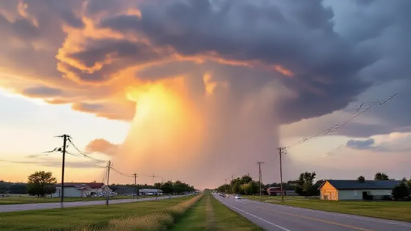
Residents across much of North Dakota, including the Bismarck and Mandan areas, should prepare for the potential of severe weather conditions beginning Sunday afternoon. This possibility of inclement weather is expected to persist through the evening hours on Sunday and could linger into the morning of Labor Day itself. The Storm Prediction Center has indicated that virtually all of the state falls within an area of concern for these conditions.
The forecast points to a Level 1, or marginal, threat for severe weather as the Labor Day weekend progresses from Sunday into Monday. This designation suggests that while severe weather is possible, it is "far from a certain threat." Nevertheless, if thunderstorms do manage to develop, there is a risk for damaging winds and large hail, particularly with any supercell thunderstorms that form.
Beyond the severe weather potential, the holiday weekend is also expected to bring widespread rain across North Dakota. This precipitation will likely be welcome news for many in the region, given the current drought situation affecting the state. The anticipated rainfall could offer some much-needed relief to parched areas.
The meteorological conditions leading to this forecast involve a significant return of heat and humidity to the region today, Friday, and again tomorrow, Saturday. These elevated temperatures and increased moisture in the air are expected to fuel the potential for storms to develop as Sunday and Monday approach. Specifically, forecasters anticipate that this prevailing heat will clash with an incoming cold front, creating an environment conducive to storm formation.
Today, Friday, temperatures are expected to touch the 90-degree mark, offering warm conditions for outdoor activities. Saturday will see even higher temperatures, with the mercury climbing into the mid-90s across the area. These two days are described as providing "perfect lake and river weather" for those looking to enjoy the last stretch of summer warmth before the shift.
Looking beyond the Labor Day holiday, much cooler and more pleasant conditions are expected to settle in after Monday and continue into the next week. High temperatures for the post-holiday period are forecast to be significantly lower, ranging from the low 80s down to the mid-70s, offering a noticeable change from the late-summer heat.
With the current heatwave expected to last through Friday and Saturday, residents are encouraged to enjoy what could be the final significant stretch of summer-like temperatures for the season. As preparations for Labor Day weekend travel and activities get underway, it is particularly important to remain weather-aware. Individuals planning to travel or spend time outdoors during the holiday period, especially on Sunday afternoon and evening, should monitor forecasts closely for any updates regarding the potential for severe weather. This awareness will be key to ensuring a safe and enjoyable conclusion to the unofficial end of summer.